Log in
All resources
Create a design
5,165 Free Images of Pages With Maps
maps from the earth and its inhabitants, vol. iv
fonds ancely - bibliothèque municipale de toulouse - maps
bibliothèques de toulouse
steel engraving print
victor levasseur - maps of france
raymond bonheur
national library of poland
maps from the earth and its inhabitants, vol. xvi
the cruise of the marchesa (1889)
maps from the earth and its inhabitants, vol. xviii
maps from the earth and its inhabitants, vol. xvi
19th-century maps of mexico city
maps from the earth and its inhabitants, vol. xv
1870s maps of quebec
maps from the earth and its inhabitants, vol. xvi
maps of central america
maps from the earth and its inhabitants, vol. iv
old maps of swansea
maps from the earth and its inhabitants, vol. iv
maps of falmouth, cornwall
maps from the earth and its inhabitants, vol. iv
1870s maps of scotland
maps from the earth and its inhabitants, vol. iv
old maps of the river thames
maps from the earth and its inhabitants, vol. iv
old maps of leeds
maps from the earth and its inhabitants, vol. xviii
1870s maps of peru
maps of ardabil province
maps of sabalan
maps from the earth and its inhabitants, vol. iv
drainage basin maps of the united kingdom
maps from the earth and its inhabitants, vol. xiv
old maps of sydney
maps from the earth and its inhabitants, vol. iv
precipitation maps
maps from the earth and its inhabitants, vol. iv
1870s maps of wales
maps of natal colony
maps of zululand
frankfurt (oder) city bridge before 1819
oder river in frankfurt (oder)
book covers from the british library mechanical curator collection
adolphe giraldon
atlas sive cosmographicae (gerardus mercator, 1623)
maps of corsica by gerardus mercator
maps from the earth and its inhabitants, vol. iii
mining in austria
tian shan
alps
maps from the earth and its inhabitants, vol. xviii
colonialism
maps from the earth and its inhabitants, vol. iv
brentford, england
maps in the staats- und universitätsbibliothek hamburg
latin-language book pages
lawrence h. slaughter collection of english maps, charts, globes, books and atlases
nypl lionel pincus and princess firyal map division
richard wane
port erin
nypl collection of atlases, gazetteers, guidebooks and other books
nypl lionel pincus and princess firyal map division
with the armies of the balkans and at gallipoli (1880)
maps of the military history of bulgaria
1880s maps of taiwan
1889 in taiwan
maps in the library of congress
1708 maps
atlas ou representation du monde universel t. 1 (1633)
17th-century double hemisphere world maps
19th century maps of haute-vienne
coats of arms of haute-vienne
coats of arms of nîmes
baroque
coats of arms of chalon-sur-saône
alphonse de lamartine
coats of arms of saint-brieuc
old maps of côtes-d'armor
19th-century maps of indre-et-loire
coats of arms of tours
victor levasseur - maps of france
pierre-jean david
maps from the mechanical curator collection available to georeference
maps from the mechanical curator collection
in the volcanic eifel. a holiday ramble (1896)
old maps of eifel
the cruise of the marchesa (1889)
kamchatka oblast
victor levasseur - maps of the world
historical images of arecaceae
siberia and the exile system (1891)
19th-century maps of siberia
siberia and the exile system (1891)
19th-century maps of siberia
nouvelle géographie universelle, vol. viii
1876 maps of india
a picturesque tour along the river ganges and jumna in india (1824)
s. j. neele & son
maps of pangong tso
old maps of ladakh
giovanni battista rossi
1890s maps of yemen
géographie générale; physique, politique et économique (1876)
19th-century maps of bretagne
géographie générale; physique, politique et économique (1876)
old maps of the strait of gibraltar
maps from the earth and its inhabitants, vol. xiv
maps of the southern ocean
maps from the earth and its inhabitants, vol. x
maps with nicolosi globular projection
old maps of the sinai peninsula
1840s maps of arabia
geographia universalis (1545) in the british museum
german renaissance,northern renaissance
geographia universalis (1545) in the british museum
german renaissance,northern renaissance
patrimonium 2 (project)
realism
atlas minor gerardi mercatoris (1609)
maps of europe by mercator-hondius
arnold's geographical handbook (1899)
1899 maps of india
arnold's geographical handbook (1899)
1899 maps of the caribbean
ismailïa. a narrative of the expedition to central africa for the suppression of the slave trade (1874)
nyanza, rwanda
latin-language book pages
bologna ptolemy
john rocque's 1746 map of london
old and new london (book)
victor levasseur - maps of the world
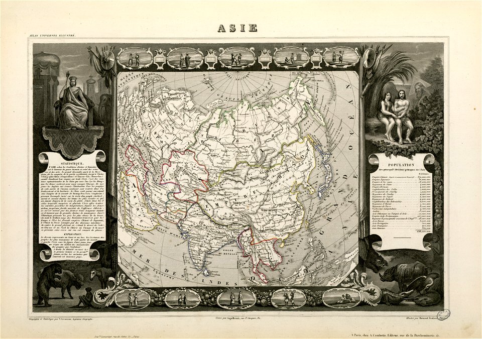
old maps of asia
maps in the library of congress
1838 maps
illustrations for arago's astronomie populaire
old maps of meurthe (department)
coats of arms of nancy
coats of arms of cities in manche
19th-century maps of manche
victor levasseur - maps of france
19th-century maps of ain
coats of arms of cities in pyrénées-atlantiques
old maps of pyrénées-atlantiques
old maps of charente-maritime
coats of arms of la rochelle
atlas ou representation du monde universel t. 2 (1633)
maps by hendrik hondius the younger
atlas ou representation du monde universel t. 2 (1633)
old maps of nuremberg
atlas ou representation du monde universel t. 2 (1633)
1630s maps of virginia
our arctic province, alaska and the seal islands (1886)
old maps of alaska
maps from the earth and its inhabitants, vol. iv
maps of cheltenham
illustrations de histoire naturelle - tome i - de seve 1749
maps of afro-eurasia
maps from the earth and its inhabitants, vol. iv
1870s maps of london
illustrations de histoire naturelle - tome i - de seve 1749
1740s maps of the americas
voyages and travels to india, ceylon, the red sea, abyssinia, and egypt, vol. 3
henry cooper (engraver)
henri-charles landrin
vallée d'aspe
the cruise of the marchesa (1889)
maps of sumbawa
the cruise of the marchesa (1889)
old maps of kamchatka
20th-century maps of libya
giuseppe haimann
australia (1873) by booth
1870s maps of australia
maps from the earth and its inhabitants, vol. vii
19th-century maps of korea
maps from the earth and its inhabitants, vol. xiii
19th-century maps of namibia
maps from the earth and its inhabitants, vol. xv
19th-century maps of central america
maps from the earth and its inhabitants, vol. iv
portskewett
maps from the earth and its inhabitants, vol. iii
maps of the sava watercourse system
maps from the earth and its inhabitants, vol. xi
roads in tunisia
maps from the earth and its inhabitants, vol. xi
maps indicating exploration
maps from the earth and its inhabitants, vol. xvi
ethnographic maps of north america
maps from the earth and its inhabitants, vol. xvi
19th-century maps of jamaica
maps from the earth and its inhabitants, vol. iv
charts of plymouth sound
maps from the earth and its inhabitants, vol. iv
queensferry crossing
1870s maps of venezuela
1878 in venezuela
maps from the earth and its inhabitants, vol. vi
topographic maps of asia
maps from the earth and its inhabitants, vol. xvii
old maps of washington, d.c.
maps from the earth and its inhabitants, vol. iv
firth of inverness
maps from the earth and its inhabitants, vol. iv
romney marsh
maps from the earth and its inhabitants, vol. iv
maps of dumbartonshire
maps from the earth and its inhabitants, vol. vi
topographic maps of asia
501 - 600 of 5,165
Next page
/ 52